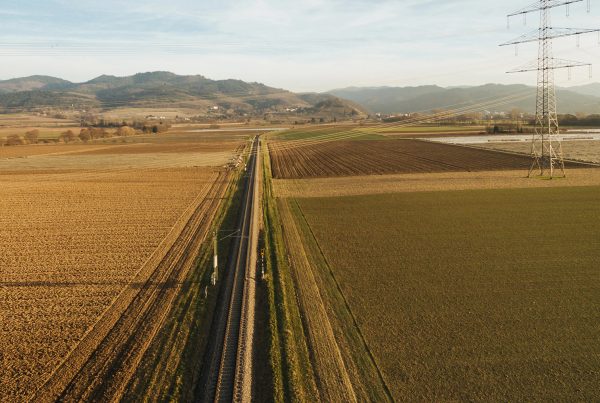
In the world of subsurface exploration, one of the most valuable tools we use at S E GLOBAL is electrical resistivity imaging (ERI). This advanced method allows us to “see” underground by measuring how the earth responds to a small electrical current. Whether you’re searching for groundwater or petroleum, resistivity provides the clues that help us pinpoint what lies below—without ever putting a drill in the ground.
1. What Is Electrical Resistivity Imaging (ERI)?
ERI involves sending a low-voltage current into the ground through electrodes. The resistance (or “resistivity”) that the current meets depends on the materials underground—water, rock, clay, sand, oil, or even voids all respond differently.
2. Why Is Resistivity Important for Water Detection?
- Water-saturated zones are more conductive (less resistive).
- Dry rock or sandy layers are highly resistive.
- ERI helps us map these variations in real time, providing a 2D or 3D model of underground water distribution.
3. Can It Be Used for Oil or Hydrocarbons?
Yes. Hydrocarbon-bearing zones tend to be more resistive, especially when they sit in porous rock. Combined with seismic data, resistivity gives us a fuller picture of oil potential before drilling.
4. No Damage. No Cleanup. No Guesswork.
Unlike test drilling, ERI leaves no footprint. It’s fast, affordable, and ideal for farms, ranches, and oil leaseholders who want results without risk.
Conclusion:
ERI is one of the most powerful tools in the S E GLOBAL toolkit. It’s part of what makes us different—and what makes your results better.